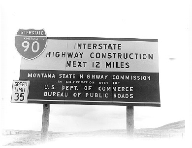
The Montana Department of Transportation (MDT) currently administers 295 historic and geological interpretive markers along the state's primary and secondary roads and in rest areas on the Interstates. The markers have been an important part of the Montana transportation landscape since 1935. But, in the twenty-first century, new ways of providing that information to motorists is required. In addition to the printed medium, the marker texts can be displayed on interactive electronic maps on the MDT website. But there may be other methods available to get that information out and into the hands of people interested in the history and geology of Montana. One method may be a cell phone app for travelers to obtain the texts of the markers without stopping to read them. How that app would work is something to study. It would also be critical to the study to determine how other states are handling this issue and whether their methods are successful - or not. There may be other methods to consider based on a study of the other states as well. The roadside historical and geological markers are a popular way of providing information to the traveling public. But as times change, it is important the historical/geological marker system change with it. This research project involves investigating how other states treat their roadside interpretive marker programs and the methods used to make them more accessible to the traveling public.
For more information, contact
